


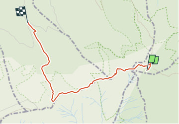


6.1 km | 9.9 km-effort

Tous les sentiers balisés d’Europe GUIDE+


FREE GPS app for hiking
 SityTrail
IGN / Geographical institutes
SityTrail World
The world is yours!
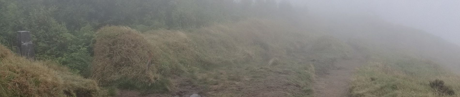
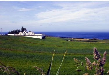
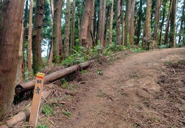
Trail On foot of 3.4 km to be discovered at Azores, Unknown, São Pedro de Nordestinho. This trail is proposed by SityTrail - itinéraires balisés pédestres.
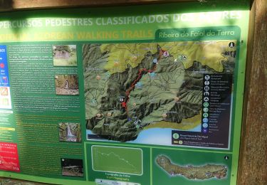
Discover the hiking route PR7SMI Pico da Vara. View the map and download the GPS track.
Website: http://trails.visitazores.com/en/trails-azores/sao-miguel/pico-da-vara


On foot
Walking

Walking
Walking


sport
sport
sport
Walking